Blount County · 11-mile loop
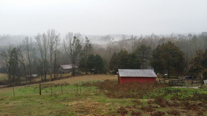
Cades Cove
The park’s best-loved valley: open fields, wildlife at dawn, 1800s cabins, churches and a working mill.
Visit this page →Smokies hub
America’s most-visited national park, three Tennessee counties, and the mountain towns at its door.
The Smokies are why most people come to East Tennessee. The national park straddles the Tennessee–North Carolina line, and on our side its front door is three counties — Sevier, Blount and Cocke. Start here for the park, the four gateway towns (Gatlinburg, Pigeon Forge, Sevierville and Townsend), the history behind the name, and everything else we’ve written about this corner of the state.
There’s no gate fee to drive into the Smokies, but if you park anywhere in the park for more than 15 minutes you need a parking tag — buy it online or at a visitor center before you go. [S3] Roads like Newfound Gap Road and the Kuwohi (Clingmans Dome) road close for weather, so check NPS current conditions ↗ the morning you drive.
Blount County · 11-mile loop
The park’s best-loved valley: open fields, wildlife at dawn, 1800s cabins, churches and a working mill.
Visit this page →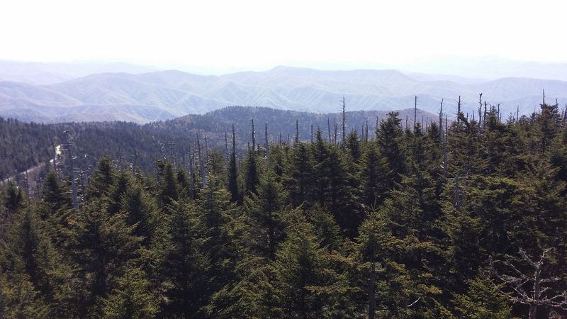
Highest point in Tennessee
A short, steep paved climb to the observation tower on Tennessee’s highest summit, when the road is open.
Visit this page →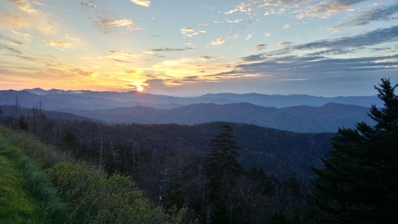
Foothills Parkway West
The quiet-side tower on Foothills Parkway West, with views back to Cades Cove ridges and the Plateau.
Visit this page →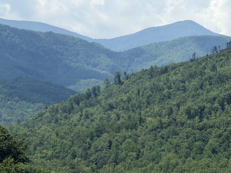
Crest of the Smokies
The AT’s highest miles follow the state-line crest. How first-timers can walk a piece of it in a day.
Visit this page →Four towns line the Tennessee side of the park. Pick your base by the trip you want: busy and walkable, theme-park close, or quiet and riverside.
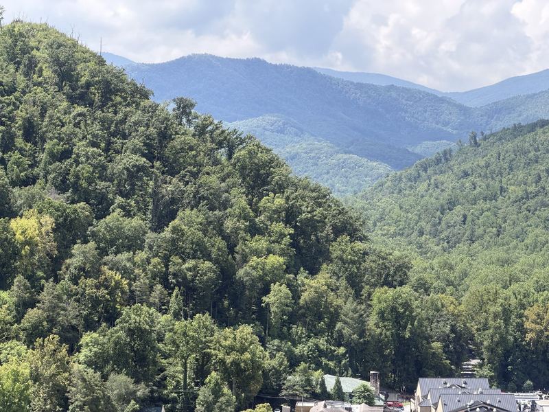
Sevier County · walkable
Chalets above a lively, walkable town, with the park entrance at the end of the street. Began as White Oak Flats.
Visit this page →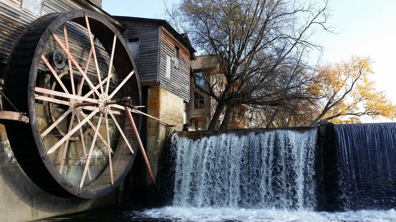
Sevier County · shows & parks
The Parkway, dinner shows and Dollywood — done deliberately so you still get a mountain morning.
Visit this page →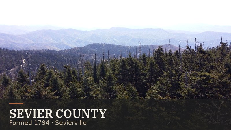
County seat · Sevier
The Sevier County seat, named for John Sevier, with the Dolly Parton statue on the courthouse lawn.
Visit this page →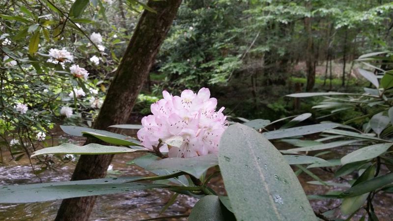
Blount County · quiet side
The “peaceful side of the Smokies”: Little River tubing, quiet cabins, and the closest town to Cades Cove.
Visit this page →Theme-park day? Read our Dollywood guide and the full East Tennessee attractions hub. Still choosing a base? See where to stay.
Seat: Sevierville
Gatlinburg, Pigeon Forge, Sevierville and Wears Valley — the busiest gateway, with the most cabins.
Visit this county →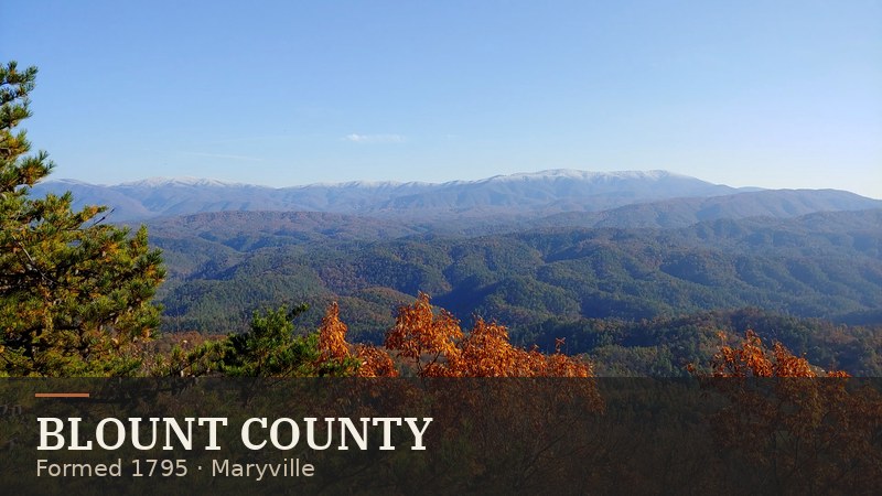
Seat: Maryville
Townsend, Cades Cove, Look Rock and Maryville — the park’s quieter western side.
Visit this county →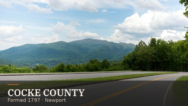
Seat: Newport
Cosby, the Foothills Parkway East and Pigeon River whitewater on the park’s northeast edge.
Visit this county →County history: Sevier County history → · Blount County history → · Maryville · Newport · Knoxville, the gateway city
Cherokee homeland. Long before the park, these mountains were the heart of Cherokee country, laced with towns, trails and hunting grounds. Most Cherokee were forced west on the Trail of Tears in 1838; families who stayed in the North Carolina mountains became today’s Eastern Band of Cherokee Indians. [S1][S5]
Settlers in the coves. Through the 1800s, farm families cleared the coves — Cades Cove, Cataloochee, Greenbrier, Elkmont — building the log cabins, churches and mills you still see today. [S1]
The logging boom. Around 1900, big lumber companies laid railroads deep into the mountains. Townsend grew up around the Little River Lumber Company, and the town is named for its founder, W. B. Townsend. By the 1920s, much of the old forest had been cut. [S5]
Building a park from private land. Unlike the big western parks, the Smokies had to be bought, tract by tract, from thousands of owners. Congress authorized the park in 1926; Tennessee, North Carolina, private donors and schoolchildren raised money, and John D. Rockefeller Jr.’s family memorial fund gave $5 million. Families in places like Cades Cove and Elkmont had to sell and leave. The park was established in 1934, and President Franklin D. Roosevelt dedicated it at Newfound Gap on September 2, 1940. [S1][S5]
The CCC and the modern park. Civilian Conservation Corps crews built many of the trails, bridges and overlooks in the 1930s. UNESCO named the park a World Heritage Site in 1983 for its plant and animal life — it is one of the most biologically diverse places in the temperate world. [S4]
Recent chapters. The November 2016 Chimney Tops 2 fire swept into Gatlinburg, and the town rebuilt. In 2024, the park’s highest peak, long called Clingmans Dome, officially took back its Cherokee name, Kuwohi. [S6]
Go deeper on our East Tennessee history hub and the Sevier and Blount county histories.
The blue haze that hangs over the ridges is natural: the forest’s trees and plants give off vapor that scatters blue light. The Cherokee called the area Shaconage — roughly, “place of blue smoke.” Settlers called them the Smoky Mountains, and the name stuck. [S1]
From our shop · My East Tennessee
Take the Smokies home
Parking tags, seasonal roads, bears and cell service — our before-you-go checklist.
Townsend for quiet, Gatlinburg to walk, Pigeon Forge for the parks — see where to stay.
Douglas Lake has mountain views, and Fontana borders the park’s south side. All of them: Lakes hub.
Road closures and park headlines from local outlets on Area news.
Facts on this page were checked against these sources on Oct 29, 2026 (ET). We summarize in our own words and link out — re-check hours, fees and road status before you go.
Explore East Tennessee


