In 30 seconds
- What it is: a 2,190+ mile footpath from Georgia to Maine; about 70 of those miles run the state-line crest of the Smokies.
- Easiest way on: park at Newfound Gap or the Kuwohi (Clingmans Dome) area and walk out and back on the crest.
- Before you go: high-elevation roads are seasonal and weather on the crest changes fast — check NPS the morning you go.
- Staying overnight? Backcountry permits and shelter reservations are required in the park.
What the AT is here
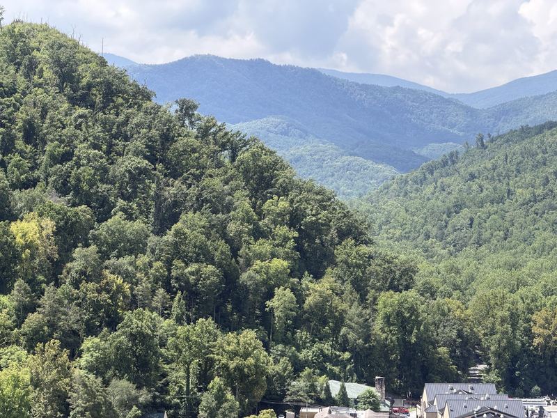
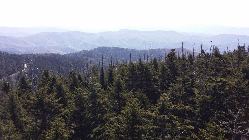
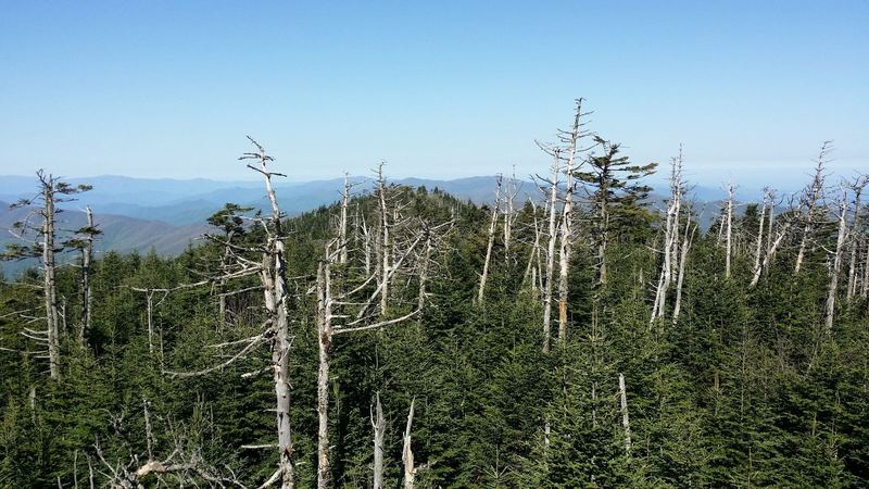
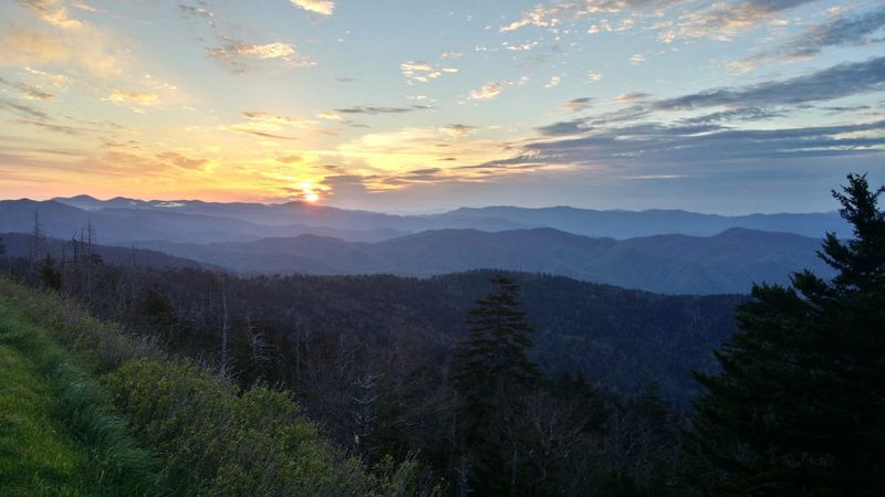
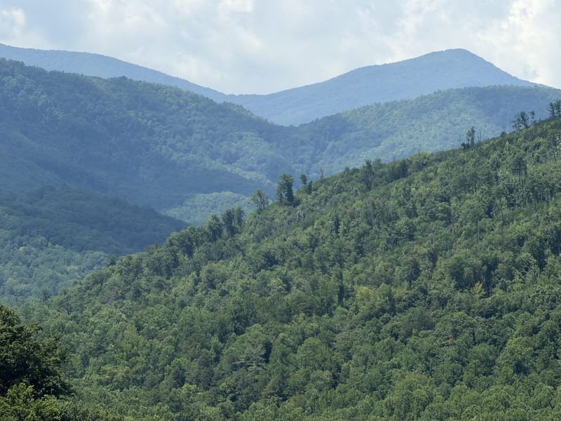
The Appalachian National Scenic Trail is a 2,190+ mile public footpath from Springer Mountain, Georgia to Katahdin, Maine (ⓘ NPS). In Great Smoky Mountains National Park it climbs onto the main crest near Fontana Dam and follows the Tennessee–North Carolina line northeast to Davenport Gap — roughly 70 miles of spruce-fir ridges, grassy gaps and long views. The highest point on the entire trail is here, at Kuwohi (formerly Clingmans Dome), per NPS ↗.
Day hikes for first-timers
You don’t need to be a thru-hiker to walk the AT. Two road crossings make it easy:
- Newfound Gap (on Newfound Gap Road between Gatlinburg and Cherokee): the AT crosses the parking area. Head northeast for the popular out-and-back toward Charlies Bunion — a full day; turn around whenever you like.
- Kuwohi / Clingmans Dome area: the AT passes just below the tower. When Kuwohi Road is open, a short walk from the lot puts you on the trail in high spruce-fir forest. See our Clingmans Dome guide.
Trails are steep and rocky at elevation. Check current conditions and trail closures ↗ and seasonal roads ↗ before you drive up.
Overnight & thru-hikers
Camping in the park’s backcountry — including the AT shelters — requires a permit and reservation. Thru-hikers have their own permit. All rules and current fees: NPS backcountry camping ↗. Trail-wide planning help: Appalachian Trail Conservancy ↗.
Beyond the park
Northeast of the Smokies the AT keeps following the high country along the Tennessee–North Carolina line through the Cherokee National Forest — the Cosby side of Cocke County, then Greene, Unicoi, Carter, Johnson and Sullivan counties — toward Damascus, Virginia. We’ll add those sections as county guides grow; for now see our Cocke County guide.
Not the Cumberland Trail
The Cumberland Trail is a different trail on a different mountain range: a Tennessee state park footpath along the Cumberland Plateau, north and west of Knoxville. It isn’t part of the AT. Official info: Tennessee State Parks — Cumberland Trail ↗. Our plateau guide is coming.
Photos & map
Map © OpenStreetMap contributors · approximate pin; our pinned map comes later
Plan your visit
Checked Oct 27, 2026 · Official links only — we don’t print hours, fees or closure dates because they change. Open these before you leave.
- NPS current conditions & alerts ↗ — trail/facility closures
- Temporary road closures ↗
- Seasonal roads ↗
- Fees & parking tags ↗ — any stop over 15 minutes
- Park webcams ↗
- Pets in the park ↗ — rules vary by trail
- NPS Appalachian National Scenic Trail ↗ — trail-wide
- NPS backcountry camping & permits ↗ — shelters, thru-hiker permit
- Appalachian Trail Conservancy ↗ — trail-wide planning
Where to stay nearby
Where to stay
Cosby
Quiet northeast corner near the AT’s Davenport Gap end.
See cabins (partner link later) →Disclosure: cabin cards will become partner/affiliate links. No rates shown here — prices always live on the booking site.
Where to eat nearby
Before you goNo food on the crest — pack water, snacks and a warm layer.
AfterEat in Gatlinburg or Townsend on the way down.
Restaurant picks get named only after we verify they’re open — no hours or prices on this page.
FAQ
Can I hike the AT in a day?
A piece of it, yes — out-and-back from Newfound Gap or the Kuwohi area are the usual first-timer options.
Do I need a permit?
Not for a day hike. Overnight in the backcountry, yes. ⓘ NPS
Do I need a parking tag?
Yes if you park more than 15 minutes. ⓘ NPS
Is the Cumberland Trail part of the AT?
No — it’s a separate state-park trail on the Cumberland Plateau. ⓘ NPS