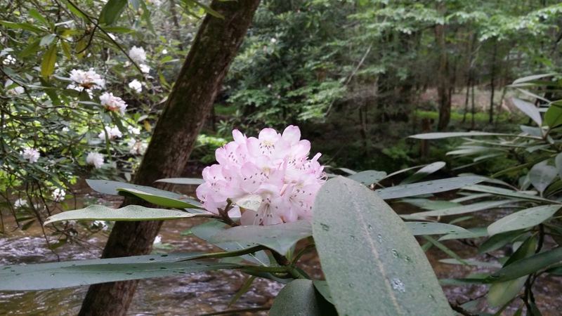
In 30 seconds
- Why go: the best wildlife viewing and historic buildings in the park, on one easy loop road.
- How long: plan half a day; traffic and wildlife jams can stretch it.
- Mistake to avoid: stopping in the road for animals. Use the pull-offs.
Why go
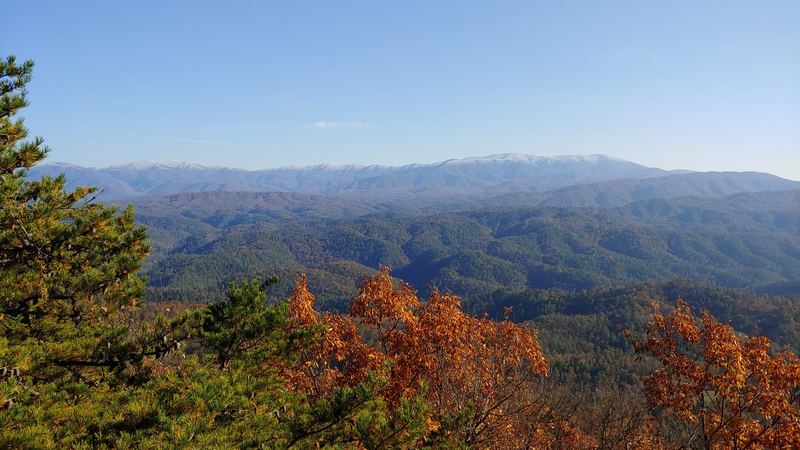
An open valley ringed by mountains, Cades Cove is where first-timers see deer, turkeys and sometimes black bears in the fields, then walk into log cabins and churches left from the farm community that lived here before the park. ⓘ NPS
Local tip
Be at the loop entrance when it opens. The first hour is the quietest and the best for wildlife.
The loop, stop by stop
- Early fields: wildlife at first light
- Historic churches along the loop
- Homesteads and log cabins
- Cable Mill area: grist mill, farm buildings, visitor center
- Pull-offs on the way out for late-morning light
Stop details and hours: NPS Cades Cove ↗.
History snapshot
Cherokee hunting ground, then a farming community from the early 1800s, then part of the national park in the 1930s. The churches, cabins and mill you see today were preserved from that farm era.
Hikes & trail alerts
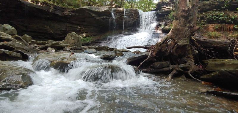
The classic waterfall hike from the loop is Abrams Falls. On Oct 27, 2026 NPS showed an Abrams Falls Trail closure alert — check NPS conditions ↗ before you plan it.
Wildlife etiquette
Stay in your car or well back from animals, pull fully off the road, and never feed wildlife. Rangers do ticket.
Photos & map
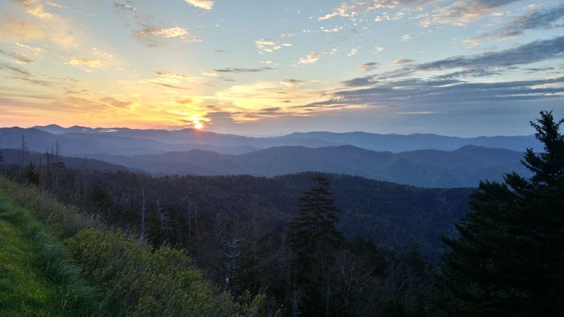
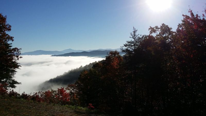
Map © OpenStreetMap contributors · approximate pin; our pinned map comes later
Plan your visit
Checked Oct 27, 2026 · Official links only — we don’t print hours, fees or closure dates because they change. Open these before you leave.
- NPS Cades Cove: hours, vehicle-free days, alerts ↗
- NPS current conditions & alerts ↗ — trail/facility closures
- Temporary road closures ↗
- Seasonal roads ↗
- Fees & parking tags ↗ — any stop over 15 minutes
- Park webcams ↗
- Pets in the park ↗ — rules vary by trail
Where to stay nearby
Where to stay
Walland
Quiet farm-country stays near the Foothills Parkway.
See cabins (partner link later) →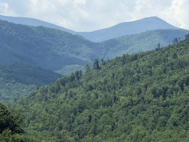
Disclosure: cabin cards will become partner/affiliate links. No rates shown here — prices always live on the booking site.
Where to eat nearby
Breakfast in TownsendBefore the loop — list verifying.
PicnicNo food on the loop; pack it in, pack it out.
BBQ afterTownsend picks coming.
Restaurant picks get named only after we verify they’re open — no hours or prices on this page.
FAQ
Do I need a parking tag?
Yes, for any stop over 15 minutes. NPS fees ↗
How long does the loop take?
Plan at least 2–4 hours with stops; longer with traffic or wildlife.
Can I bike the loop?
Yes, and on some seasonal days the loop is closed to cars for bikes and walkers. Dates: NPS Cades Cove ↗.
Best time of day?
Opening time, any season.
Is there camping?
Yes, Cades Cove Campground — details on NPS ↗ and Recreation.gov.