
Formed 1792 · Seat: Knoxville
Knox County
Tennessee’s first capital, TVA’s headquarters and the gateway city to the Smokies.
Visit this county →Eighteen counties around Knoxville hold the Smokies, the first TVA dam, the Manhattan Project’s Secret City, and the river crossings and Cherokee towns at the heart of Tennessee’s story. These are short, sourced histories — each one links to the places we write about, with sources at the bottom so you can read further.
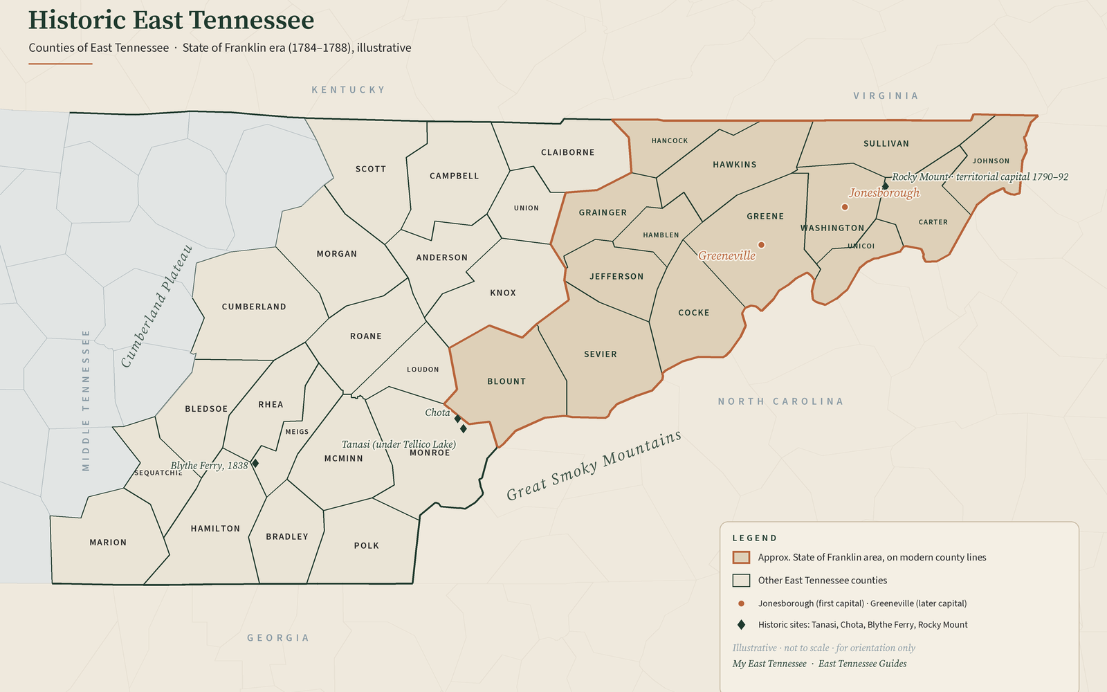
Counties
Formed 1792 · Seat: Knoxville
Tennessee’s first capital, TVA’s headquarters and the gateway city to the Smokies.
Visit this county →
Formed 1785 · 1794 · 1796 · Seat: Sevierville
“Three birthdays,” Kuwohi (formerly Clingmans Dome), Gatlinburg, Pigeon Forge and Dollywood.
Visit this county →
Formed 1795 · Seat: Maryville
Cades Cove, Townsend, Look Rock — and the company towns of Alcoa and Walland.
Visit this county →
Formed 1801 · Seat: Clinton
Norris Dam, the Secret City of Oak Ridge, the Coal Creek War and Clinton 1956.
Visit this county →
Formed 1801 · Seat: Kingston
Fort Southwest Point, Kingston’s day as state capital, Rockwood iron and temperance Harriman.
Visit this county →
Formed 1817 · Seat: Wartburg
Wartburg’s German-Swiss colony, Rugby, Brushy Mountain, Frozen Head and the Obed.
Visit this county →
Formed 1836 · Seat: Decatur
“The Shoreline County”: Blythe Ferry, Hiwassee Island and TVA’s Watts Bar and Chickamauga lakes.
Visit this county →
Formed 1870 · Seat: Loudon
Blair’s Ferry, Lenoir City, a Civil War bridge — and the Fort Loudoun and Tellico dams.
Visit this county →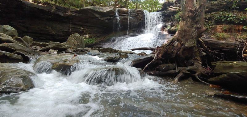
Formed 1819 · Seat: Madisonville
Tanasi, Chota and Fort Loudoun on the Little Tennessee, Sequoyah’s birthplace, Coker Creek gold, and the Cherohala Skyway.
Visit this county →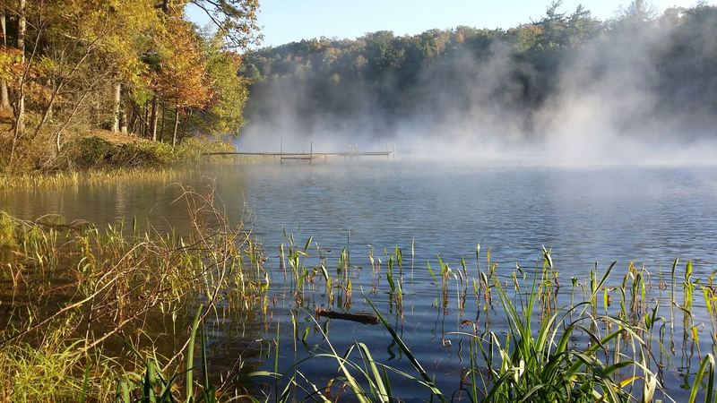
Formed 1819 · Seat: Athens
Calhoun’s Cherokee Agency crossing, the railroad towns of Etowah and Niota, Harry Burn’s 1920 vote, and the 1946 Battle of Athens.
Visit this county →Formed 1839 · Seat: Benton
Nancy Ward’s Benton, the copper mines of Ducktown and Copperhill, and the Ocoee River that hosted Olympic whitewater in 1996.
Visit this county →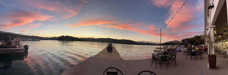
Formed 1806 · Seat: Jacksboro
Norris Lake’s northern shore, Cove Lake and Indian Mountain, elk on the Cumberland Plateau, and the coal-and-iron towns of LaFollette and Jellico.
Visit this county →Formed 1801 · Seat: Tazewell
The Tennessee side of the Cumberland Gap, Lincoln Memorial University’s Lincoln museum in Harrogate, the Powell River valley and Norris Lake’s northern arms.
Visit this county →Formed 1850 · Seat: Maynardville
Norris Lake’s longest shoreline, Big Ridge State Park’s 1930s TVA cabins, the Sharps Chapel peninsula and the hometown country of Roy Acuff, Chet Atkins and Kenny Chesney.
Visit this county →Formed 1796 · Seat: Rutledge
The only Tennessee county named for a woman: Cherokee Lake and Norris Lake on either side of Clinch Mountain, the old Bean Station crossroads, Tate Springs and the famous Grainger County tomato.
Visit this county →Formed 1844 · Seat: Sneedville
Tennessee’s newest state park on the free-flowing Clinch, the upper Powell River, Elrod Falls and the Melungeon heritage of Vardy, all a long, curvy drive from anywhere.
Visit this county →Formed 1870 · Seat: Morristown
Cherokee Lake’s south shore at Panther Creek State Park, Davy Crockett’s boyhood tavern, Longstreet’s winter headquarters and downtown Morristown’s overhead sidewalks.
Visit this county →Formed 1786 · Seat: Rogersville
Rogersville’s 1789 Main Street on the Great Wilderness Road, Laurel Run Park on the Holston, Bulls Gap’s railroad and Archie Campbell museums, and the Hawkins shore of Cherokee Lake.
Visit this county →
Multi-county & statewide
Windrock, the Smokies, the Cumberland Trail — places that cross county lines — plus highway help like *THP.
Open the directory →More East Tennessee counties coming: Cumberland, Scott, Jefferson, Cocke, Greene, Washington, Sullivan, Carter →
Deeper history
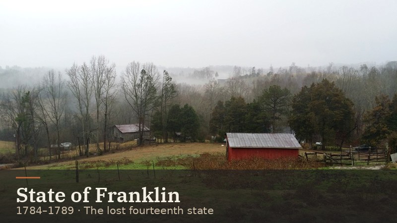
How East Tennessee settlers tried to form their own state — and what Franklin left behind in Sevier County and beyond.
Read →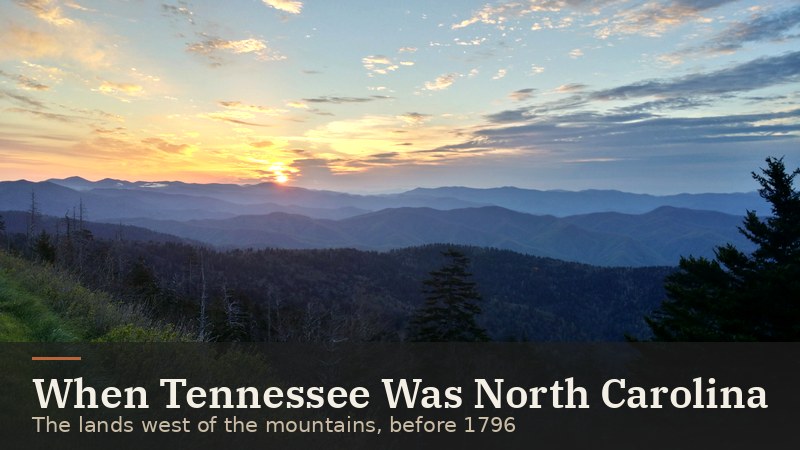
From North Carolina’s overmountain counties to the Southwest Territory and statehood on June 1, 1796.
Read →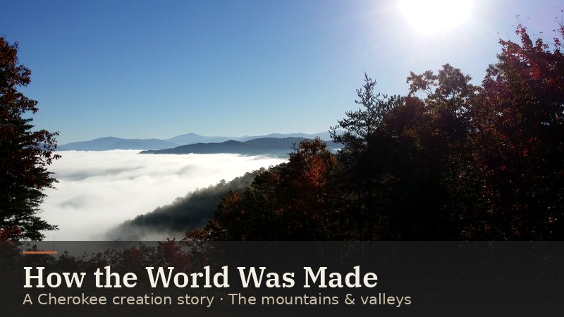
The Cherokee story of the Water-beetle who brought up the earth, as recorded from Cherokee storytellers in the late 1880s.
Read →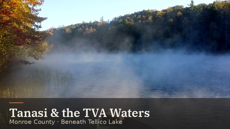
Tanasi (also written Tenasi), Overhill Cherokee town on the Little Tennessee, now beneath TVA’s Tellico Lake.
Read →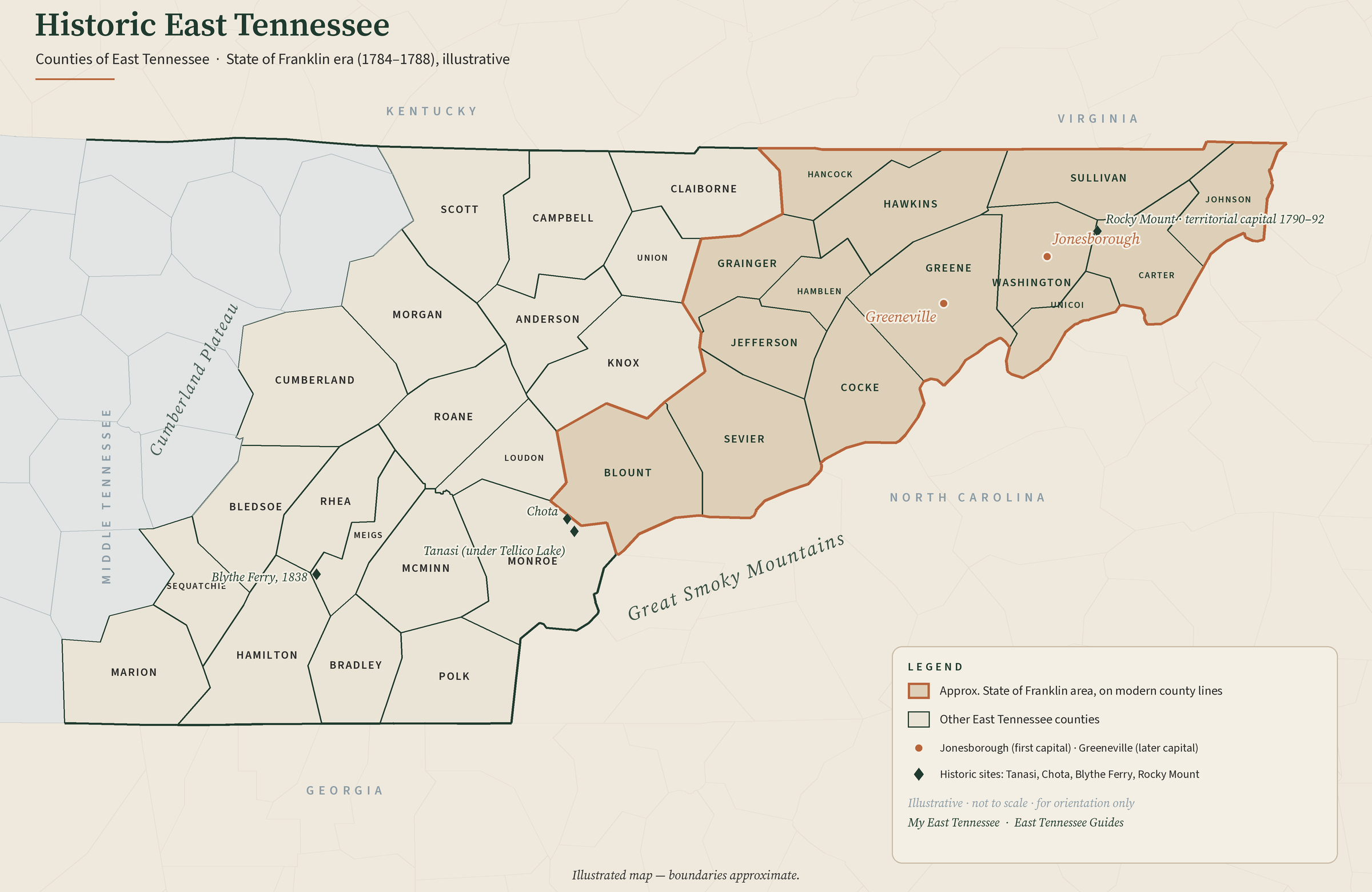
From our shop · My East Tennessee
Historic East Tennessee Counties Map
This map is available as a poster — buying one helps keep these guides free.
Buy the map poster →Counties on this map with a story so far: Knox County · Sevier County · Blount County · Anderson County · Roane County · Morgan County · Meigs County · Loudon County · Monroe County · McMinn County · Polk County · Campbell County · Claiborne County · Union County · Grainger County · Hancock County · Hamblen County · Hawkins County
County histories summarize the Tennessee Encyclopedia ↗ (Tennessee Historical Society) plus TVA, NPS and Tennessee State Parks pages · Checked Oct 27, 2026.